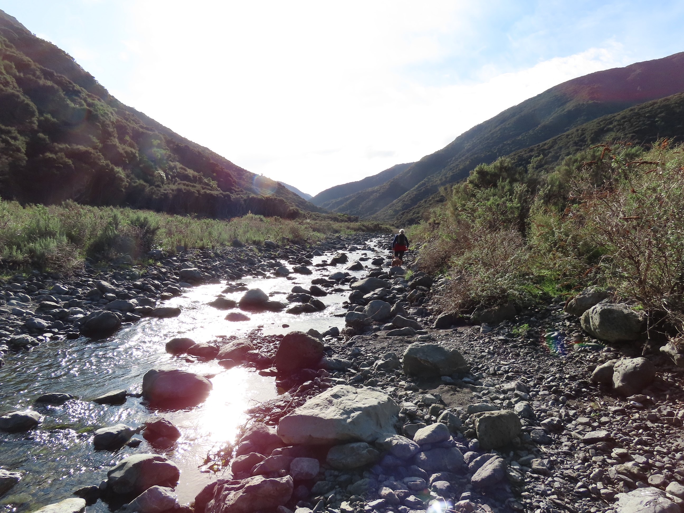
The quickest way in to Mangatoetoe Hut is via the stream of the same name, with the carpark near where the stream meets the Pacific Ocean around 3km south of Ngawi.
The route starts at sea level and climbs a total of 100m over the 1hr 20min that the walk in took Nicola and I. The hut is buried in tall manuka on a flat on the true left of the stream and could be easily missed if you're not keeping a keen eye out for it.
 |
| Nicola enjoying a cuppa with Charlie |

The entire route is in, or near, the stream, although we followed more stock tracks through the manuka on the way out. Travel was fairly quick in low flow.
This map shows the carpark just off the Cape Palliser Road, and the route up the stream.

The DoC only own a thin sliver of land on the eastern side of the stream for the first kilometer, and thereafter all the bush on the eastern side of the steam. There's plenty of warnings of what will happen to trespassers so it's best to pay attention!
Mangatoetoe Hut is on the Aorangi Crossing route, a 30km north-south crossing of the Forest Park from the Putangirua Pinnacles campsite north of Ngawi. This could be done in a long-ish day or easy two if transport can be arranged (hitch-hiking along this road shouldn't be to difficult).
Times:
Carpark to hut 1hr 20min
Hut to carpark 1hr (we followed more stock tracks on the way out)
No comments:
Post a Comment