Monday, 25 January 2021

Eastern Hutt Hut (and beyond), Jan 2021

With little time spare this weekend and a high wind forecast for the Tararua tops our last Dusky training trip with Nicholas and Missy was to be an over-nighter that included a visit to the Eastern Hutt (River) Hut.  This was a first for Nicola, Nicholas and Missy, so was on the hut-bagging schedule.

Meeting at the carpark at Pakuratahi Forks, we were on the move by around 9:00am - not a Dusky departure time, but okay given the relaxed day we had ahead of us. We took the northern foot-track that meets the Norbert Creek Loop at 560m, taking around an hour to climb the 360m.

Hitting the 4WD track we veered NE, topping out quickly at around 580m before dropping 300m to the Eastern Hutt River.  Hutt Forks, and the junction with the Western Hutt River is only 500m to the NW and provides track access up onto Quoin Ridge - a trip for another day.

Team Croskery-Rivers

Crossing the Eastern Hutt by way of the swing-bridge we made quick work of the climb to 460m and the drop back down to the river, all to avoid a short length of gorge.  Maybe silly at this time of year!  

Girls nearing the top of the track from the hydrology tower that avoids the gorge

Once in the river the going was easy and we enjoyed the coolness of the mountain water.  The easiest route is generally in the river, although occasionally we'd climb the bank and follow a well worn all-weather track to avoid deeper water.


The smiles remained all day - a good sign for the boys!

Getting used to two poles - beaut for river travel


Nicholas Smith - bushman, economist and provocateur

A bit over three hours in the river we made the hut, taking around five hours from the carpark.  Well hidden on river left it wouldn't be difficult to miss.

The hut is managed by the Wellington Regional Council, and not available for use by trampers / hunters, except in emergencies.  The hut has six bunks and would make for a warm and dry night in such emergency!  

Eastern Hutt Hut (emergency use only) 25 January 2021

While enjoying the hut surrounds we were visited by this beautiful dragonfly.

Dragonfly / Kapokapowai 'water snatcher'

Apparently dragonflies are an indicator of good water quality.  If that's the case the people of the Hutt Valley and Wellington are drinking good water as there was no shortage of dragonflies in the Eastern Hutt River this weekend. 

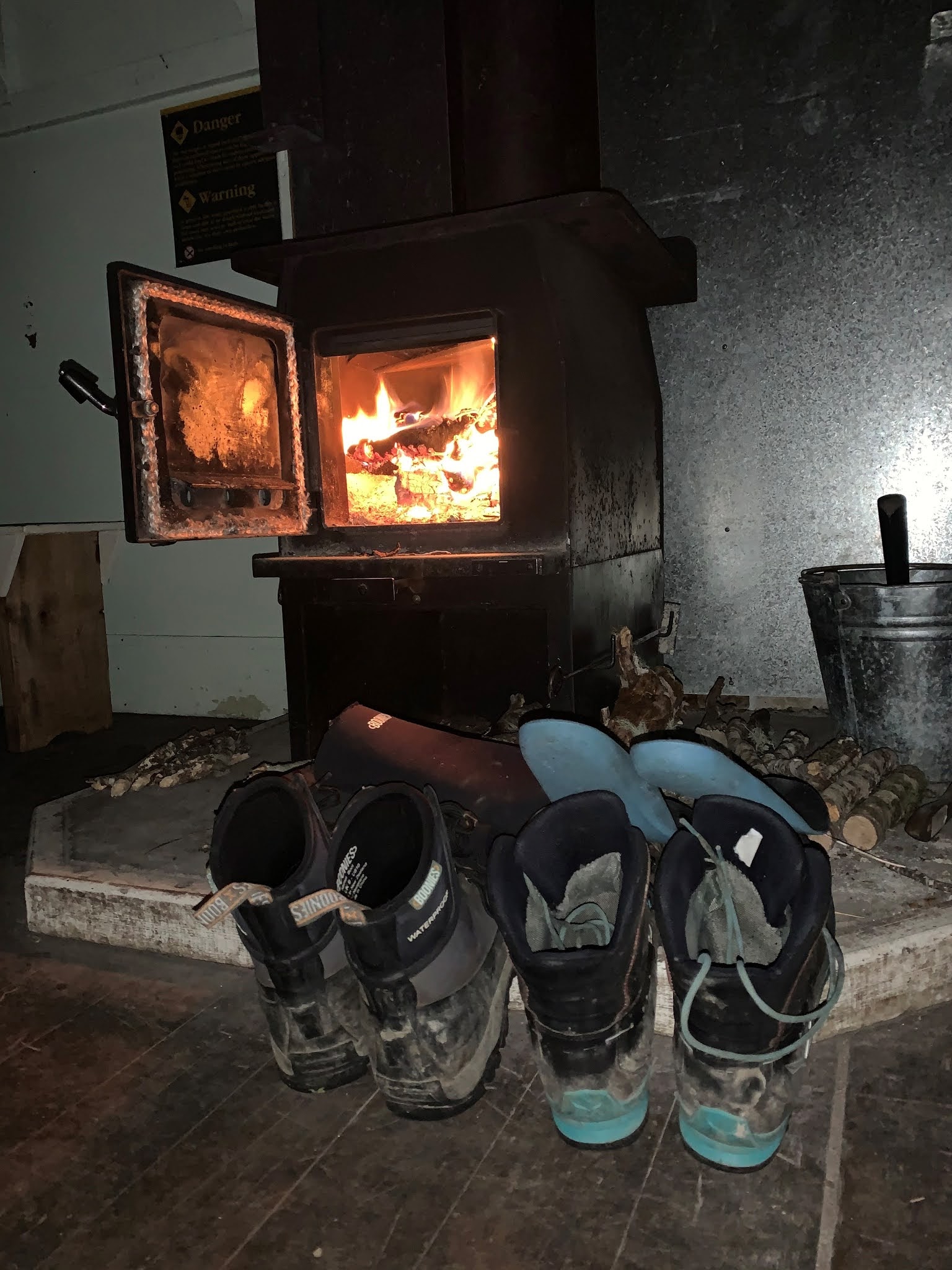
Once we found a campsite it didn't take long to get two tents up and a fire under way.  We had flat ground and sun, better than some tent sites we've put up with in the past, but unfortunately a constant wind swirling off the tops.

What a beaut way to spend a few hours before dark.  As usual, Nicola had the Sunday Star Times and Nicholas the Dominion so the afternoon wasn't wasted, quizzes were completed with average results, American politics debated, and NZ's many social problems discussed.

Early evening started with a pinot - very civilized, and a staple on weekend trips for us.  

Nicola balancing a pinot noir, and Charlie

On advice from the Smith's we'd moved from our usual dehy to Radix.  Radix provides options in 600 cal and 800 cal.  Tonight we tried 600 cal Mexican Chili with organic beef.  What a game changer - it fully hydrated and was ready to go in 5 minutes, and actually tasted like food.  We'd contemplated a return to full meal preparation on the Dusky, but having tried Radix we're fully committed, although are planning on a few blue cod and trout from the Shimano 4-piece and lures that I'd hauled up the Eastern Hutt.  Not to be used this time due to the wind that was swirling off the tops and along the river. 

Monday morning we were back in the river by 8:00am.


The trip back down the valley was enjoyable and uneventful.  The haul out of the river and up to 460m to avoid the gorge was possibly the wrong decision yet again, but in any case was a walk in lovely weather and was good training for our looming Fiordland trip.  The grind up the 4WD track from the river to to 580m was another tester!

Our trip finished with a quick dip in the river and lunch at the carpark with the hordes of people that had escaped the city for the day. 

End


Sunday, 3 January 2021

Kaweka J Circuit, Kaweka FP, Dec 2020 / Jan 2021

Dodging poor weather meant the first part of our Christmas break was limited to chores at home and a little bike riding.  A planned three-day trip into the Tararua FP was canned just ahead of cold weather and snowfall on the Tararua tops, and a round-the-mountain trip was postponed due to an Alert Level 2 "moderate to heightened volcanic unrest" warning from Geonet.  Plenty of time for that in the future.

So plans were moved to the eastern side of the Kaweka FP, and specifically a wander around the Kaweka J circuit over three easy days from New Years Eve.  No dogs allowed due to Kiwi releases, so no Charlie this time.

The Kaweka FP spans a mere 59,000 hectares (compared to the Tararua FP at 115,000) however boarders the 134,000 hectare Kaimanawa Range, enabling some long tramps through to the Desert Road / Central Plateau.

Arriving at the road-end late, we pitched the tent for a comfortable night.  The carpark is at around 950m elevation, so well up the hill compared to our Tararua tramping.

Makahu Saddle Hut is only 300m from the road end and would make a great late night stop-over for future trips.  The hut was built in 1957 by the NZFS as a trial for what eventually became the NZFS SF70 hut.

Makahu Saddle Hut
Makahu Saddle Hut

Dominie Hut (1968) is only an hour or so up the hill, and more of a bivvy than a hut, with only two beds.  It sits at 1,480m on the Makahu Spur and is the highest bivouac in the range.  It's protected to some degree from the southerly and has great views out over Hawkes Bay.

Dominie Biv - Kaweka J in the cloud

Another half an hour on we reached Kaweka J (also known as Mt Kaweka).  At 1,724m K-J is the highest point in the Kaweka Range.  A light breeze and mist hung around but didn't show much sign of wanting to stay for long.

Kaweka J - highest point in the Kaweka FP

We met a French girl at the summit, the only person we met all day, although did see a couple of blokes in the distance.

Kaweka J - WW2 memorial

From the summit the route to Back Ridge Hut heads west, dropping around 440m.  The ridge starts very broad but narrows quickly meaning very easy navigation (if the weather was bad) along the spine of the ridge. 

Heading down the southern ridge toward Back Ridge Hut

Back Ridge Hut (1957) is a cute little four-bunker located just inside the bush edge and next to a small feeder stream for Rocks Ahead Stream to the west.

Back Ridge Hut

Back Ridge Hut water supply - couldn't be handier!

As we'd made Back Ridge before 1:00pm a walk SW further along Back Ridge to Back Ridge Biv was in order.  This 3km or so took an hour, with the biv only five minutes off the ridge on the eastern side.  Nic stayed behind to progress her current cross stitch and nurse a recovering sprained ankle.

The biv is well used by hunters chasing Sika, with reasonable success if the Hut Book isn't full of tall stories.

Back Ridge Biv

And back to Back Ridge Hut for a New Years Eve evening where we enjoyed a hip-flask of port together and a hut to ourselves - perfect.

All is good with a fire to dry the sweat soaked clothes and boots and warm the hut

New Years day started with a one and a half hour grind up the northern ridge to hit the main range mid-way between Kaweka J and North Kaweka.  


Climbing from Back Ridge Hut

The weather on the top could not have been better, little wind and a clear sky.

The tops north of Kaweka North

We spent around two hours walking north, past the turn-off to Ballard Hut (next time) and Whetu to the turn-off down Camp Spur.  We were surprised at having not met anyone today, New Years day.

Camp Spur.  Spot Nicola in there . . .

We stopped for a beaut lunch at the bush edge where we met a bloke carrying a rifle all the way to Ballard Hut for the night.  He was a great bloke but I can't figure all that walking with a rifle!

We'd made the bottom of Camp Spur by around 2:00pm and Middle Hill Hut by 2:30pm.

Middle Hill Hut (1963 and upgraded in 2003) is a beaut six-bunker with large deck that would accommodate more bodies should the need arise.  Surrounded by Kanuka, Manuka and Red Beech, Middle Hill is the quintessential Kaweka hut.

The bush surrounding the hut was alive with bees and smelt like honey.

Middle Hill Hut

As there was plenty of light left and we still had fuel in the tank we headed off for Kaweka Flats Bivouac a little after 3:00pm.  Kaweka Flats Biv (1963) is a two-bunker located at the base of Dicks Spur.  Previously farmed, the area has reverted to Kanuka and Manuka.

After a superb weather day, the rain set in a few minutes from the biv, thereby restricting our smelly bodies to the small biv for the evening.  Dinner was cooked with the door open to a light drizzle.

Kaweka Flats Biv in a nice clearing amongst the manuka


Happy after a 9.5 hr day

Day three involved only a short one and a half hour walk out to the carpark, a cup of tea and clean clothes.

Still together and smiling at the end!

End :)